The Krzczonowski Landscape Park was established to protect the characteristic landscape of the central part of the Lublin Upland, with particular emphasis on the rich loess relief of the Giełczewska Highland.
The Krzczonowski Landscape Park was established in 1990. A particular aim of the park’s protection is to preserve the natural, landscape, cultural, historical and tourist values of the environment, with particular emphasis on the rich loess relief and naturally valuable forest complexes. The Krzczonowski Landscape Park is characterized by the most typical landscapes of the Lublin Upland, a strong relief of the terrain and absolute heights reaching 300 meters above sea level.
The park is located on Wynioswo Giełczewska in the central part of the Lublin Upland. The Lubelskie Voivodeship is characterized by a moderately continental climate, the south-western part, i.e. the area of the Lublin Upland, where the Krzczonowski Landscape Park is located, has a milder and slightly drier climate than the northern part of the voivodeship, which is more humid and severe. The average annual rainfall in the Lublin Upland ranges from 550 to 600 mm, while the average annual temperature is around 7.5 ° C, the average July temperature is 19 ° C, and the average January temperature is around -4.5 ° C. The growing season lasts from 200 to 210 days. Snowfall occurs in December, and snow cover lasts for a long time, over 80 days. The long duration of snow cover is due to the presence of forests, ravines and dry valleys in this area, which favor snow accumulation and delay its melting, which has a beneficial effect on soil moisture and supplementation of groundwater resources in spring. Western winds prevail throughout the region, the Lublin Upland is characterized by high insolation, it is the largest in the country, which affects the solar potential of the region. High insolation has a beneficial effect on the maturation of crops in the right time.
The area of the park covers 12,421.00 hectares, while the buffer zone covers 13,854.00 hectares and is directly adjacent to the Czerniejów Protected Landscape Area. The width of the park buffer zone ranges from 1 to 6 kilometers. The park is characterized by dry denudation-erosion valleys and ravines. Large ravines are located in the vicinity of Pilaszkowice and Rybczewice, they are up to 1 kilometer long and 15 meters deep. There are also a dozen denudation outliers made of sandstone.
Denudation outliers are a peculiar and large landscape value of the park, they occur in the western and northern part in the form of hills, the highest of which is 281 meters above sea level. They are built of sandstone with a hard silica binder, have resisted denudation and are stuck in the park landscape as witnesses of the geological and tectonic past of the Lublin region (sandstone was once used as a material for the production of mill wheels). Thanks to them, the full geological profile of the formation of the Lublin Upland has been preserved. Many of them have their names, including: Chełmiec, Szabałowa Góra, Gliniana Góra, Kobyla Góra.
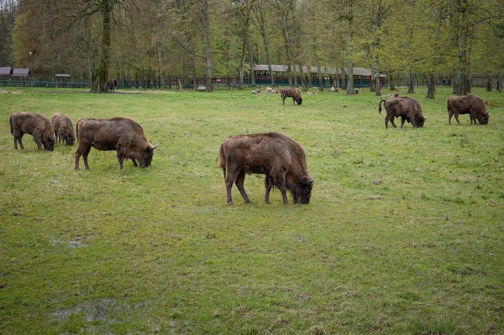
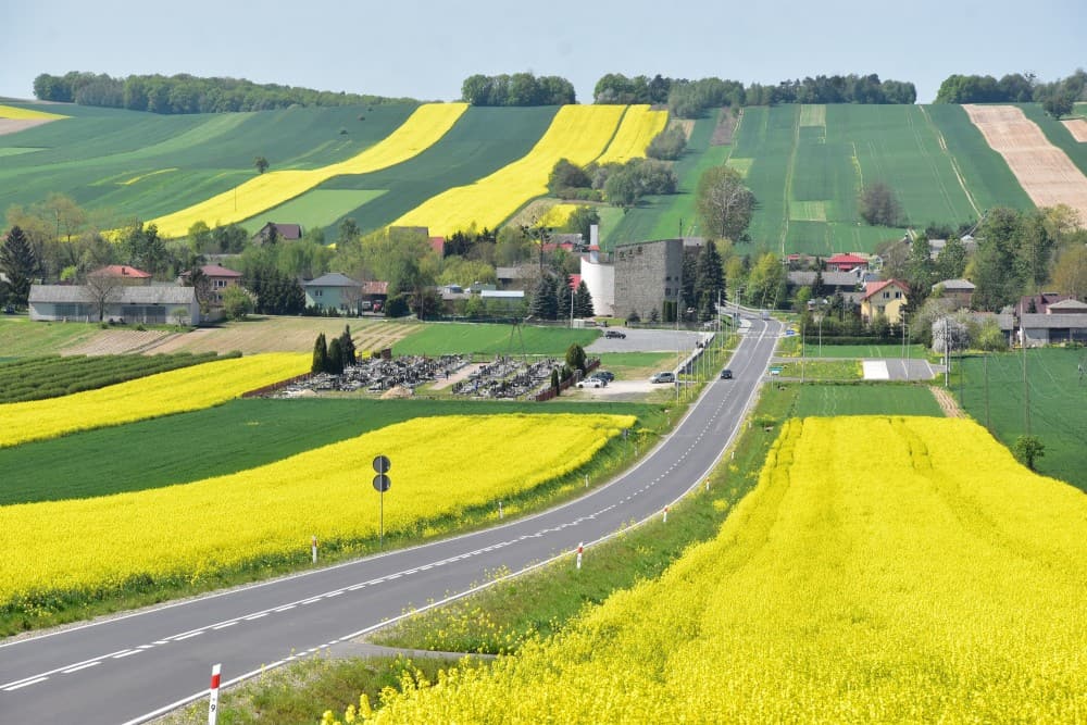
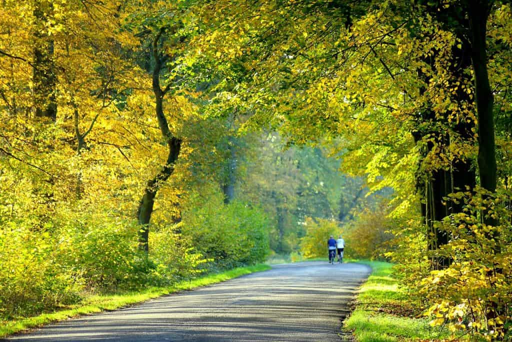
The predominant landscape in the park is the cultural landscape consisting mainly of agricultural land, including agricultural fields, orchards and building areas. It harmoniously combines elements of natural origin with areas occupied by human activity. There are oak-hornbeam forests with an admixture of beech and mixed forests, light oak forests and riparian forests. The largest forest complexes are “Las Chmielowski” and “Las Królewski”, the area of the park is covered in 24.8% by forests, despite their small share, the existing communities are almost only the most valuable species, characterized by high health and for seed purpose.
The Giełczew river and its tributary Radomirka flow through the park, as well as the Olszanka stream with its smaller tributaries. The park area is an important spring area, as there are 45 springs here. Over 80% of the park’s area is located in the Giełczew river basin. The Giełczew River flows along a natural court in an undeveloped, narrow valley with relatively steep slopes, although part of it has been regulated and transformed. Radomirka begins at the western end of Krzczonów, its length is 15 kilometers. The river from the Royal Forest to its end has been regulated. Olszanka is a 7 km water-poor stream, which is a left-bank tributary of the Radomirka River. The rivers of the Krzczonowski Landscape Park are characterized by a varied and variable slope. What in the past made the use of rivers attractive for the needs of water mills, they were located in seven villages. Clean waters of rivers and streams (mainly class I cleanliness) and numerous springs not found in other parts of the Upland contribute to the attractiveness of the park.
The area of the Krzczonowski Landscape Park is characterized by a significant share of soils of high valuation classes (I-IVa), among which classes IIIa and IIIb dominate. Within the protected soils (classes I-IVa) there are soils of a very good, good and bad wheat complex and a very good and good rye complex. The parent rock for the development of soils in this region are mainly Quaternary and Tertiary formations. Typologically, these are brown soils as well as podzolic and pseudo-pit soils. Among soils of organic origin, peat and muck-peat as well as silt-peat and peat-silt soils are the most common. Brown soils occupy slopes and convex areas, while pseudo-shed soils occur in areas of flat or slightly undulating plains. On the mounts and slopes, there are small patches of rendzinas made of weathered chalk marl. In the depressions at the foot of the slopes and in the depressions, black soils, characterized by a large thickness of the humus horizon, formed on the bottom of the valleys on alluvial dust and clay sediments.
No marked hiking trail runs through the park. There are bicycle paths as part of the “Meandry Giełczewki” route.
The blue route starts at the Zemborzycki Reservoir and is 25 kilometers long. It enters the Park near the village of Chmiel, then it runs near the village of Nowiny Żukowskie – to the forest reserve “Chmiel” with an area of 25.70 hectares. Next we go towards Olszanka. On the way, we pass a reserve with the same name as the village. Then we follow the road to Krzczonów. On the left side we will pass the World War I cemetery. Russian and Austrian soldiers are buried there. At the roundabout in the center of Krzczonów, turn according to the signpost “Żuków 8 km”. We pass Krzczonów Sołtysy and reach the “Las Królewski” floristic and forest reserve. Then the road meanders through the woods. They surround Valentine’s Day. It is the most beautifully situated village in the entire Park. We reach the Bazaar through Chodyłówka. The tour ends here.
The yellow route is 35 kilometers long. It starts in Krzczonów. It runs towards Wola Sobieska. After passing the last houses of Krzczonów-Sołtysów and climbing a large hill, we are in an open space from which we can admire beautiful views. Next we reach Krzczonów III. We approach the hill at the beginning of Sobieska Wola. Here we can rest for a while in the former manor park near the new church. Then we go to Dąbie and then to Pilaszkowice. Here it is worth seeing an interesting church. One of the battles of the January Uprising took place near the village. Then we go through Stryjno, Wygnanowice and Felin to Majdan Policki and “Szabałowa Góra” (282 m above sea level). Characteristic hill – half covered with forest and half “bald” towers over the area. We take the dirt road to the last buildings of Antoniówka and “catch” the road uphill to Nowiny Żukowskie. From here we already have in advance to the reserve “Chmiel”.
The third route is the green route. It is 30 kilometers long and starts in Olszanka. It runs along the river with the same name. Soon we have a driveway towards Żuków II. Near the first buildings of the village, it is worth turning right into a forest speedway. After less than 200 meters, we find a monument to partisans who died during a skirmish with the Germans on July 24, 1944. We return to the route and turn left to the Żuków Colony. In the village, the old manorial buildings have been preserved – the apartments of grooms, barns, and granaries. Some are already in complete ruin, others are still in use today. The former mansion, built around 1840, faces the new church. It is worth going along an interesting nature trail. It begins behind the village on Kamienna Góra. This is an unusual position of a mountain plant – stemless ninety. From here, through Valentine’s Day, we can go to the “Royal Forest”. We continue our journey through Policzyzna and Stryjno to Wygnanowice. Here it is worth seeing the church, which was previously a manor barn. The next stop is Gardzienice, once belonging to Hetman Stefan Czarniecki. Then the path leads to Piaski.
The Rybczewice commune is situated on the so-called John III Sobieski Trail. It is not a route physically marked out in the field, it is an association project of communes whose areas are related to the figure of the former king of the Republic of Poland and which want to promote this historical past. The fact that a tourist is on the Trail of Jan III Sobieski is informed by signs placed by the roads as well as information boards. Tourist shelters are also set up as part of the trail.
The Krzczonowski Landscape Park also has characteristic viewpoints. Wide views can be seen from many inselberg hills, but not only from the edges of river valleys or the highest points on the plateaus. Such places are quite evenly spread over the area of the Park and its buffer zone. Some of the most picturesque views can be seen from the points near Walentynów, Bazar, from Nowiny Żukowskie, from Szabałowa Góra or Podizdebno.
An important supplement to the tourist offer are also agritourism farms. In the area of the Park, its lagging and in the immediate vicinity, such quarters are located in: Pilaszkowice Pierwsze, Częstoborowice, Rybczewice Pierwsze, Olszanka, God’s Dear, Majdan Kozicki and Wola Gardzienicka. Some farms offer additional services in the form of cooking workshops, hippotherapy and onotherapy (Olszanka). There is a riding club in Piotrkówek. The network of quarters is complemented by regional chambers (in Krzczonów at the Regional Center for Culture and Sports) as well as folk artists: the sculpture studio is run by Mr. Stanisław Lipa from Stryjno Pierwszy, while the root sculpture is performed by Tadeusz Wikira in the town of Bazar. Fishing enthusiasts can pursue their passion at the fishery in Pilaszkowice Pierwsze. Elements of the tourist infrastructure also include shelters located, at the retention reservoir in Rybczewice Drugie.
The article is based on materials from the official website of the Krzczonowski Landscape Park.